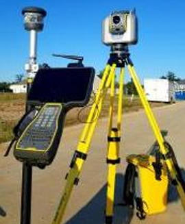
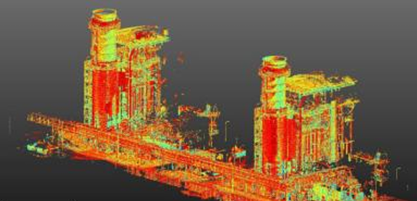
High-resolution three-dimensional spatial data is captured through rapid laser-based scanning techniques to accurately document structures, buildings, and infrastructure. This method produces dense point cloud models that precisely replicate surface geometry, allowing detailed representation of as-built conditions, deformation, and structural irregularities without any physical contact.
The resulting dataset supports precise measurement, analysis, and visualization of complex structural forms, making it highly effective for condition assessment, deformation monitoring, and engineering documentation. It is particularly valuable in situations where conventional surveying methods are limited by accessibility, complexity, or the need for highly detailed spatial information.