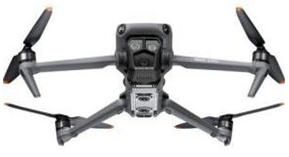
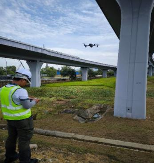
Aerial data acquisition through unmanned systems is used to efficiently capture high-resolution imagery and spatial information for the inspection and mapping of structures, construction sites, and extensive infrastructure. This approach enables fast coverage of large or hard-to-reach areas while ensuring detailed visual output and safe field operations.
The information gathered is applied in structural condition assessment, façade and roof inspections, progress tracking, topographical mapping, and comprehensive site documentation. It provides valuable support for engineering analysis, defect identification, and project planning, contributing to improved accuracy, efficiency, and safety in civil engineering evaluation works.